Using satellites to benefit agriculture

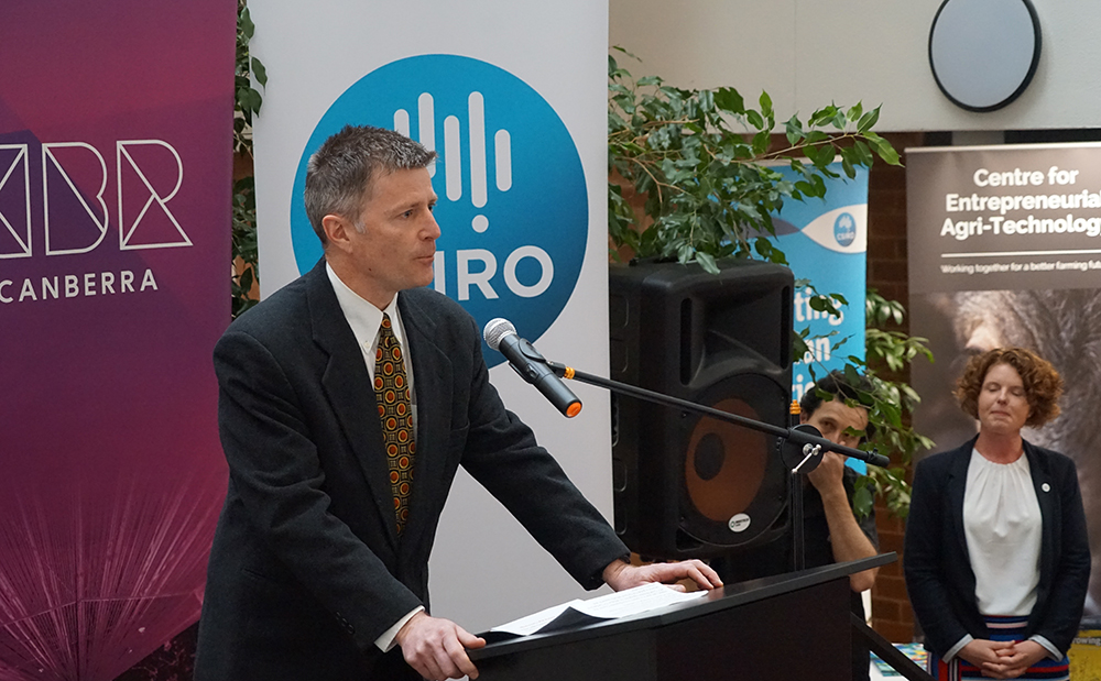
Professor Owen Atkin is a Group Leader at RSB Plant Sciences, the Vice Chancellor's Entrepreneurial Professor at ANU, and the Director of the Centre for Entrepreneurial Agri-Technology (CEAT) - a collaboration between ANU and CSIRO, with investment from the ACT Government.
Can you tell us how you use satellites to help inform your research or what is the Centre doing in regards to satellite technology?
Over the past decade, my lab has increasingly taken our plant-level work characterising physiological responses to climate change drivers and put it in a global context. Here, our primary question has been: what effect is global climate change having on carbon uptake and release by plants, and how will changes in plant carbon exchange affect atmospheric chemistry and the extent of global warming in the coming decades. While quite a bit of this work is done using modelling frameworks, it also requires an ability to quantify rates of plant carbon exchange over wide spatial areas. We also need highly quality data on the environment in which plants live. Increasingly, satellites are providing exactly the data we need. For example, by monitoring reflection of light from leaf surfaces, satellites already can tell us whether vegetation is growing or not; looking forward, satellites will increasingly enable us to quantify rates of plant carbon uptake and release by natural and managed ecosystems in high precision, both spatially and temporally. Such data will enable us to develop more accurate global climate models. Satellites will also enable us to monitor large crop breeding trials with greater precision and speed, helping us to more rapidly select for traits that increase the resilience and potential of crops such as wheat, rice and barley.
In the context of the above, CEAT is proud to be working with the ANU Institute for Space (InSpace) and researchers from the ANU Research School of Earth Sciences and Research School of Computer Sciences to develop an industry-issue report for AgriFutures Australia on the potential of satellite technologies to help transform Australia's agriculture, fisheries and forestry sectors. A key aspect of the project will be a workshop in August 2020 where we meet with producers, industry bodies, government, commercial service providers, and researchers to co-design the report for AgriFutures.
Most people understand satellites to be devices that monitor our earth's surface. What are satellites used for, in your field of expertise?
Satellites are increasingly being used to quantify whether plants are growing or not, with existing technologies providing data on whether plants are stressed or healthy. The information collected by satellites are also helping us understand how much carbon is stored in plants and soils, and how changes in climate will influence the extent of plant/soil carbon storage. Satellites are also increasingly of use to plant breeders, particularly as we need to identify new traits to help improve crop yields and stress resistance. Couple this to increasingly high resolution data on climate (particularly temperature and light) and water availability, and we are going to be much better able to understand what factors are influencing the functioning of natural and managed ecosystems.
What are the benefits of using satellites? How do they compare with using other forms of data collection from the ground?
The main benefit of using satellites is how they enable us increase our capacity to quantify the performance of plants growing across the entire surface of the Earth - be them plants in natural or managed ecosystems. Moving from low throughput, low resolution measurement to high throughput, high resolution monitoring is the goal.
Until recently, most of my research group's work was done using individual plants - either in the field or in the lab - with the methods being very slow. This limits our ability to understand how processes such as photosynthesis and respiration by plants are affected by the environment. To overcome this, we are increasingly using robotic methods to speed up how quickly we make measurements on individual plants. Then, by coupling those robotic tools with measurements of light absorbance and reflection from leaves, we can develop tools to that enable us to remotely monitor plant performance from aerial platforms, be them on drones, fixed-wing planes or satellites.
What has been one discovery you've made in your research thanks to the use of satellites?
Not my research directly, but rather the research that colleagues are doing looking at use of satellites to monitor a phenomena called 'solar induced fluorescence' - by using satellites to measure a form of light emitted by plants, we are getting closer to being able to quantify with high precision the amount of carbon being take up by ecosystems across the planet.
What are you currently working on when it comes to research with satellites? How can this technology be expanded to benefit society?
My lab has been developing tools to predict the rate of respiratory carbon release by leaves of crop plants - by shining light onto a leaf and looking at what wavelengths of light are absorbed and reflected, we can develop mathematical equations to predict respiration rates. The next challenge will be to move from individual leaves to whole plants, then to whole fields of crop plants (e.g. using drones) and eventually across landscapes using satellites. Doing that will enable us to screen for crop types that are more efficient in how they used the sun's energy to grow.
What does the future look like for satellite research?
Bright! There are so many applications in industry, research and education where satellite technologies will transform how biologists study plants in natural and managed ecosystems. What is currently only done over limited spatial and temporal scales will be possible across the entire surface of the Earth.
Originally published by the ANU Newsroom, 14 August 2020
