E&E PhD Exit Seminar: Habitat highs and lows: Using multi-platform LiDAR to assess relationships between vegetation structure and landscape use by birds and reptiles
Vegetation structure is an important habitat element for many animals.
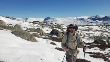
Speakers
Event series

Content navigation
Description

Vegetation structure is an important habitat element for many animals. However, understanding the relationship between landscape use by animals and vegetation structure can be difficult due, in part, to limitations in our ability to accurately measure vegetation structural attributes over wide areas using traditional, field-based methods. Light detection and ranging (LiDAR) is a rapidly developing technology that allows for the collection of accurate and highly detailed three-dimensional data on landscape structure. Multiple studies have investigated the utility of LIDAR for providing landscape-scale structural information that may be useful for wildlife habitat assessments and to explore plant-animal interactions. Notably, almost all of these studies have involved the use of LiDAR from airborne platforms rather than terrestrial sensors that typically provide more detailed data but take longer to collect and process.
For the first time, I collected terrestrial LiDAR and unmanned aerial vehicle LiDAR data in a woodland landscape to compare the ability of both sensors to identify relationships among vegetation structural metrics and bird species richness and abundance and reptile presence and abundance. In addition, I developed a new machine learning method for using LiDAR data to classify and quantify coarse woody debris, which is an important habitat element for many species. I will discuss some of the key findings from my research and how they help expand our understanding of the habitat preferences of some species and guide future applications of this technology for wildlife management and conservation.
Location
Please note: this seminar will be held in the Eucalyptus Rm and via Zoom, details are included below.
Eucalyptus Room, Rm S205, Level 2, RN Robertson Building (46)
Please click the link below to join the webinar:
https://anu.zoom.us/j/89701578879?pwd=eFArMWljZVd3SFhPODY2NlRZNnpNUT09
Passcode: 729532
Upcoming events in this series

Pollinators are essential to plant reproduction, community structure, and ecosystem health, but those inhabiting alpine environments face strong thermal constraints.
Over the course of my PhD, I have had the pleasure of working in Australia's sub-alpine grasslands investigating the effects of heat and drought on plant functioning and carbon cycling.